Weather Risk Management Facility, a joint initiative between the International Fund for Agricultural Development and the World Food Programme, is implementing a project to evaluate the feasibility of remote sensing for index insurance to fill the critical gap of quality, long-term weather and yield data on-the-ground.
This publication was developed for the Weather Risk Management Facility of the International Fund for Agricultural Development and the World Food Programme, by Andrea Stoppa, Emily Coleman, Francesco Rispoli, and William Dick.
Remote Sensing for Index Insurance: findings and lessons so far
International Fund for Agricultural Development and World Food Programme. 2015
by E. Coleman, W. Dick, F. Rispoli, A. Stoppa . Rome.
Abstract
This publication gives an overview of the project and documents lessons so far after the first test season of developing and analysing remote sensing products for index insurance to accurately depict yield loss in smallholder farming due to weather and other perils, and be scalable in index insurance schemes.
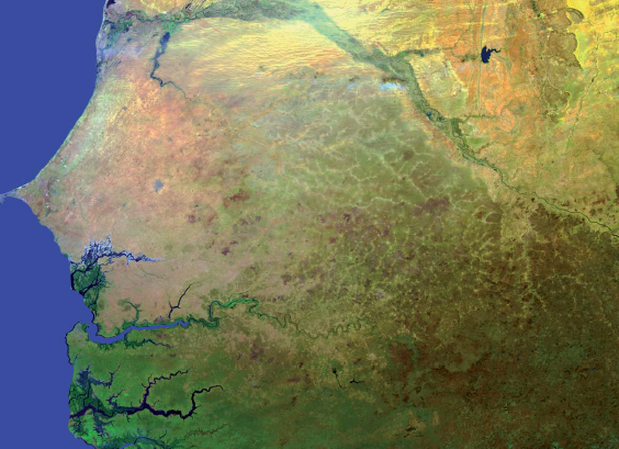
The focus is Senegal, with outcomes intended for entire index insurance sector. Findings so far relate to the historical and 2013 crop season performance of each remote sensing methodology when assessed against on-the-ground yield and rainfall data, and cover lessons on:
- Crop and area performance
- Design and calibration of indices
- Defining Unit Areas of Insurance
- Crop maps and masks
Following this test season, the project is continuing to develop, test and analyse the remote sensing methodologies for two more seasons, with an overall evaluation taking place in 2016, after which conclusions will be shared.
MORE INFORMATION and CONTACTS:
Francesco Rispoli, f.rispoli@ifad.org
Emily Coleman, e.coleman@ifad.org